
 All articles
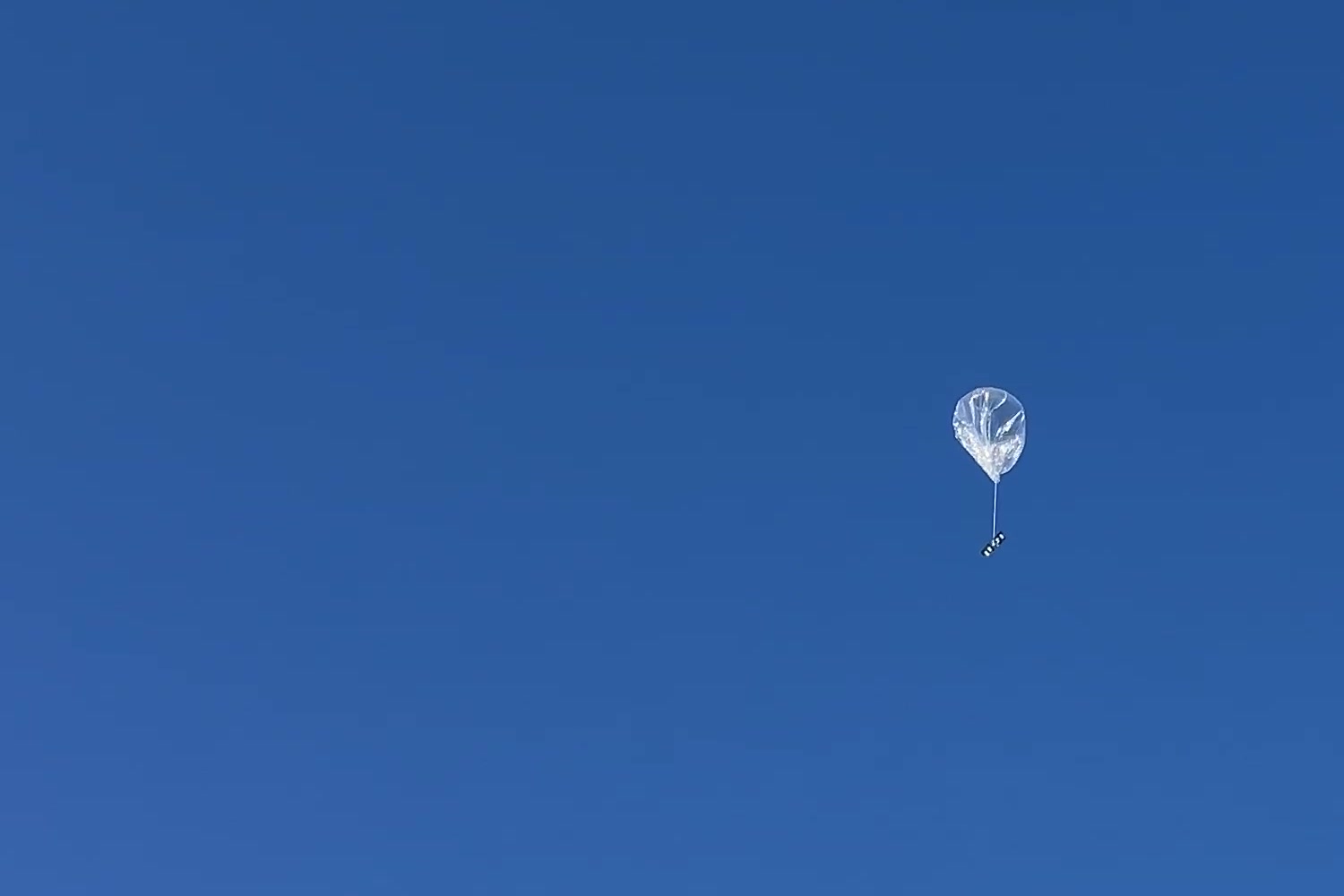
Stratolink 3 launched from San Francisco on May 17, 2026. It followed the California coast toward Baja, went silent for about 35 hours, then reappeared over Sonora and continued northeast to New Mexico.
Later packets placed the balloon over Spain on May 28 and near Málaga on May 29, extending the observed flight to roughly 12 days.

Down the coast
The balloon climbed toward a float altitude of around 9,500 m. Its early track ran south along the California coast, past Los Angeles and toward Baja. The pressure sensor continued to report changing altitude even when the GPS position stopped updating.
- South of San Francisco at a reported altitude of 734 m.
- Reported GPS altitude stops changing at 6,924 m.
- Last position before the long gap, offshore near northern Baja.
- Contact resumes over Sonora, Mexico.
- A position southeast of Albuquerque reports 9,814 m.

The frozen position
Around 18:20 UTC, the reported GPS altitude locked at 6,924 m and repeated across consecutive packets. Meanwhile, pressure kept falling as the balloon climbed. A repeated coordinate could no longer be treated as a new position.
The reported satellite count was 32. That value alone does not identify the failure. The useful evidence is the unchanged position while other sensor readings continued to move.
Fix age and validity need to travel with the coordinates. If a receiver loses its fix, the dashboard should show the last known position as old rather than silently extending the flight track with duplicate points.
The gap near Baja
The last reported position before the gap was near northern Baja at 02:23 UTC on May 18. Sensor packets continued briefly afterward. The tracker then went quiet until 13:58 UTC on May 19, when a gateway received it over Sonora.
Light and reported voltage fell before contact stopped. The temperature trace reached -38.2 °C before the gap. Those observations make the power system worth investigating, but they do not establish what happened during the missing hours.
A LoRaWAN packet reaches the dashboard only if a gateway hears it. Missing reception can mean the payload had no power, could not transmit, or was outside usable gateway coverage. Without onboard records from the silent period, the received packets cannot separate those explanations.
What the voltage field can tell us
The flown firmware converted its storage-voltage ADC reading using a fixed 3.3 V reference. A later audit found that the reported value can approach a false plateau as the supply drops. The 3.32 V readings therefore do not establish the actual capacitor voltage or the reset threshold. This is why the old trace cannot prove exactly when or why the tracker stopped.
Once contact resumed, the recorded positions moved northeast through Sonora and into New Mexico. There is no measured track through the 35-hour gap. A line joining the two ends would show a connection between observations, not the route the balloon actually took.
What the flight exposed
The flight pointed to several changes for the next tracker revision:
- Report fix validity and age so stale coordinates cannot look current.
- Record the firmware version, power state, and GPS diagnostics with telemetry.
- Measure the stored energy available through sunset and the conditions needed to restart.
- Reduce work when power is low, then check that the tracker resumes normally.
- Investigate storing positions while out of coverage and sending them after contact returns.
For the current build, see the hardware guide and system overview.
The flight continued
Packets arrived from Spain on May 28. The final fresh GPS fix was near Málaga at 17:46 UTC on May 29, at a reported altitude of 10,034 m. Telemetry continued until 19:45 UTC without a fresh GPS position.
That extended the observed flight to roughly 12 days. The Atlantic crossing sits inside a long reception gap, so its exact path remains unknown. The later European packets also confirmed that the tracker could join the EU868 network after leaving US915 coverage.
You can inspect the received positions and telemetry in the dashboard.